Geospatial Imaging
Advanced technologies to accurately capture, analyze, and represent spatial data.
Aerial and Terrestrial Photogrammetry
We perform photogrammetric surveys from the ground or drones to create precise images and 3D models.
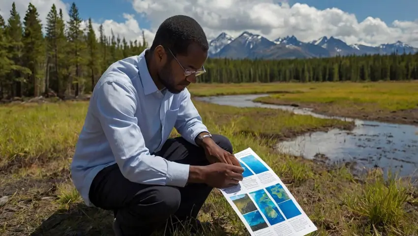
Satellite Remote Sensing
We utilize satellite imagery to gather large-scale data for environmental and territorial analysis.
Terrestrial 3D Scanning
Our terrestrial 3D scanners capture detailed measurements of structures and environments for reliable modeling.
Mobile Mapping
We deploy mobile mapping systems to collect real-time geospatial data in the field.
Bathymetry (Hydrographic Surveys)
We conduct bathymetric surveys to measure water depth and create detailed underwater maps.
